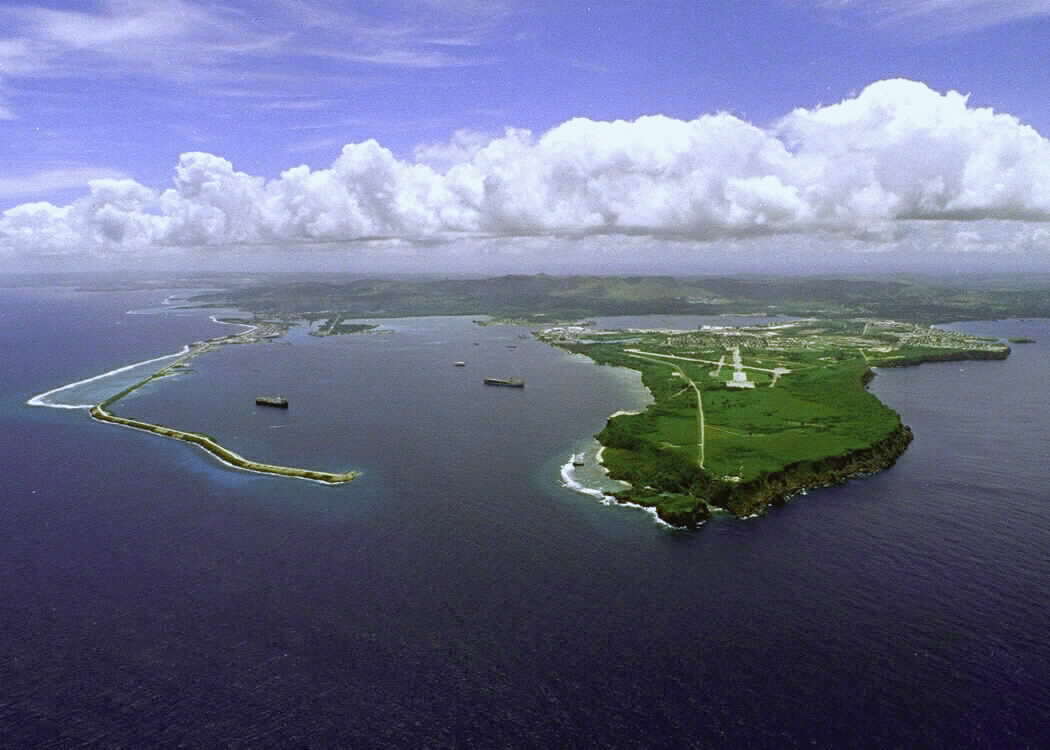
Hi guys, at the moment I’m on Guam, one of the Mariana islands located in the north-western part of the Pacific Ocean. Today I hiked up Mount LamLam, the highest point on the island. It took me a good half-day to hike all the way to the summit. At the top of the mountain, I got a beautiful 360 degree view of the entire island. It was, however, a very precarious perch at the summit, which is very windy and only large enough to fit one person. As a descended down the mountain, I happened upon a beautiful waterfall, where I stopped to rest before continuing back to the ground.
The elevation difference from Mount LamLam to the Mariana trench is about 38,300 feet, making it the largest gain of elevation on earth. Both the Mariana Islands and the Mariana Trench were formed from the boundary between the Pacific Plate and the Philippine Plate, both oceanic plates. This specific type of boundary is called an ocean-ocean subduction boundary. What happened here is that the Pacific Plate got pulled (or subducted) under the Philippine plate, forming a very deep ocean trench known as the Mariana Trench. On the Philippine Plate, which moved over the Pacific Plate, a chain of volcanic islands were formed, called the Mariana Islands. Both a deep-sea trench and volcanic islands are formed at the area of an ocean-ocean subduction boundary.
Picture Links:
http://web.gccaz.edu/~lnewman/gph111/topic_units/plates/plates2.html
http://touroftheearth.blogspot.com/2011_04_01_archive.html
http://en.wikipedia.org/wiki/History_of_Guam